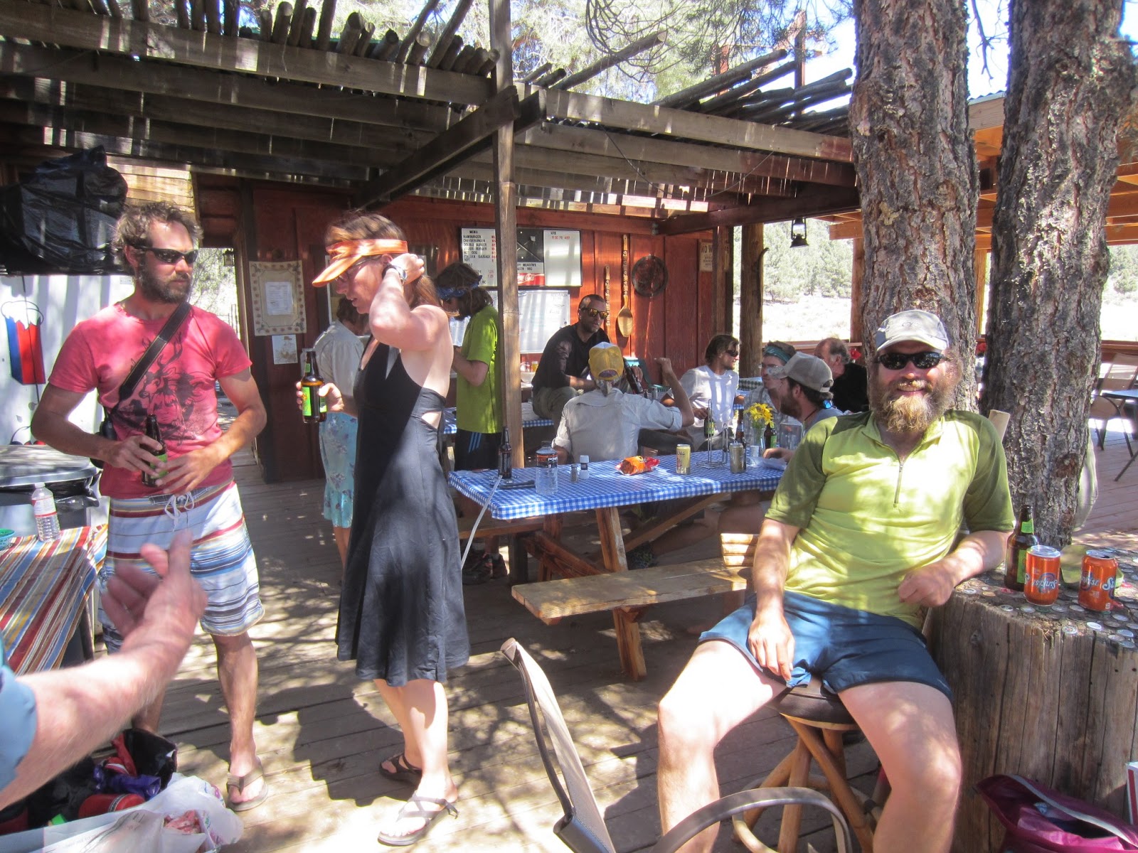
We just arrived in Agua Dulce yesterday and we are excited to take our first true "zero day" (a zero day is when you hike
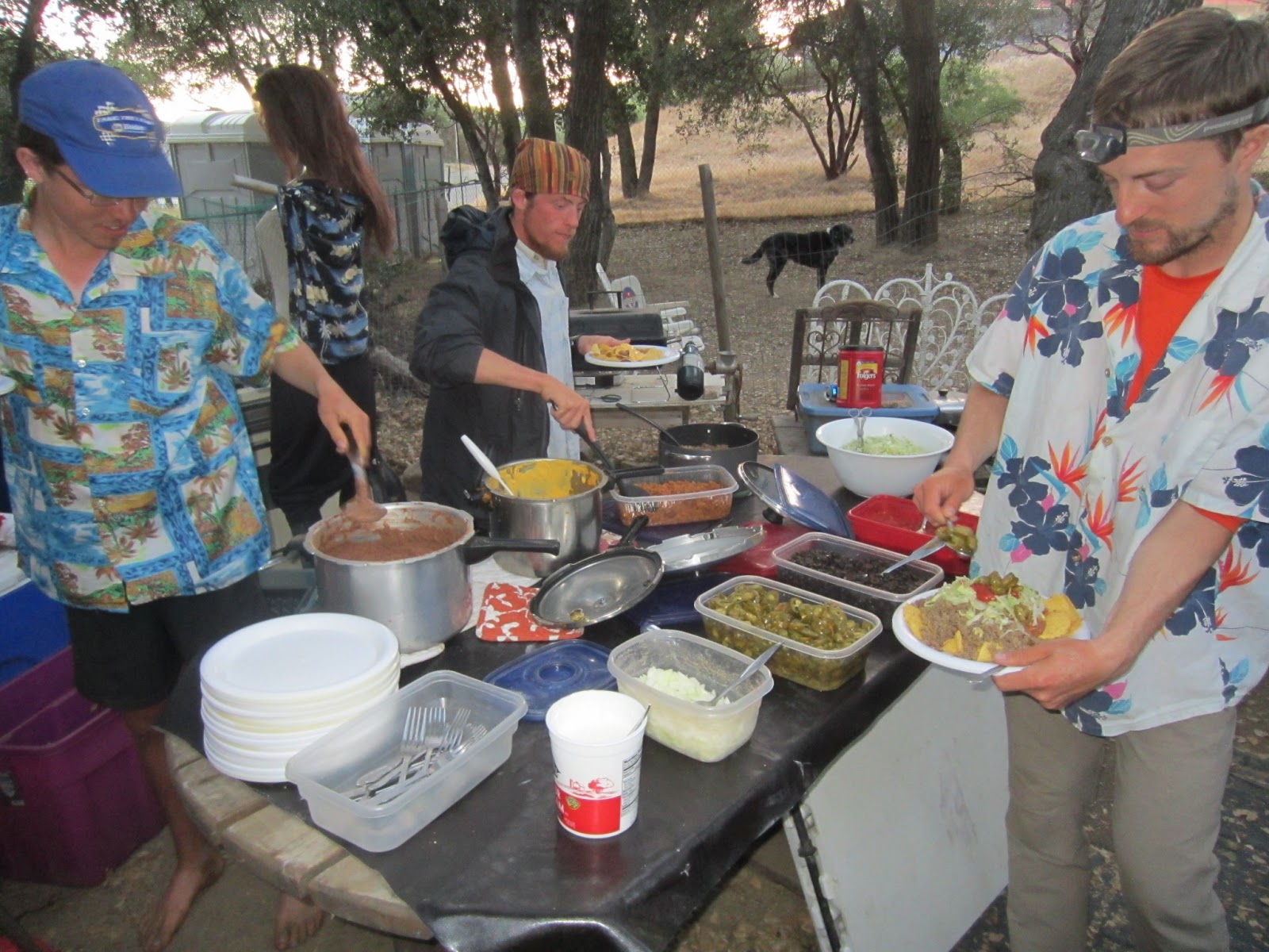
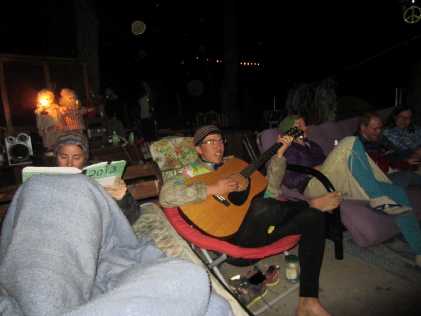
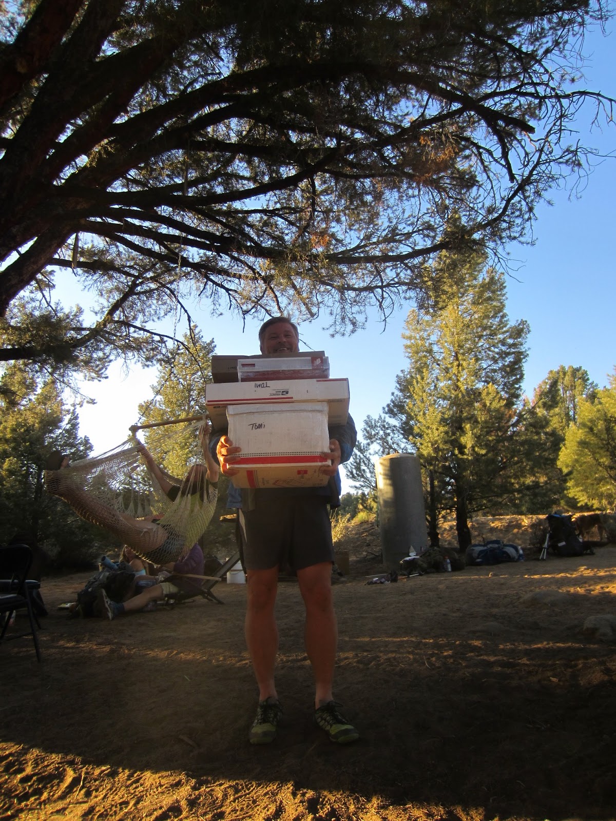
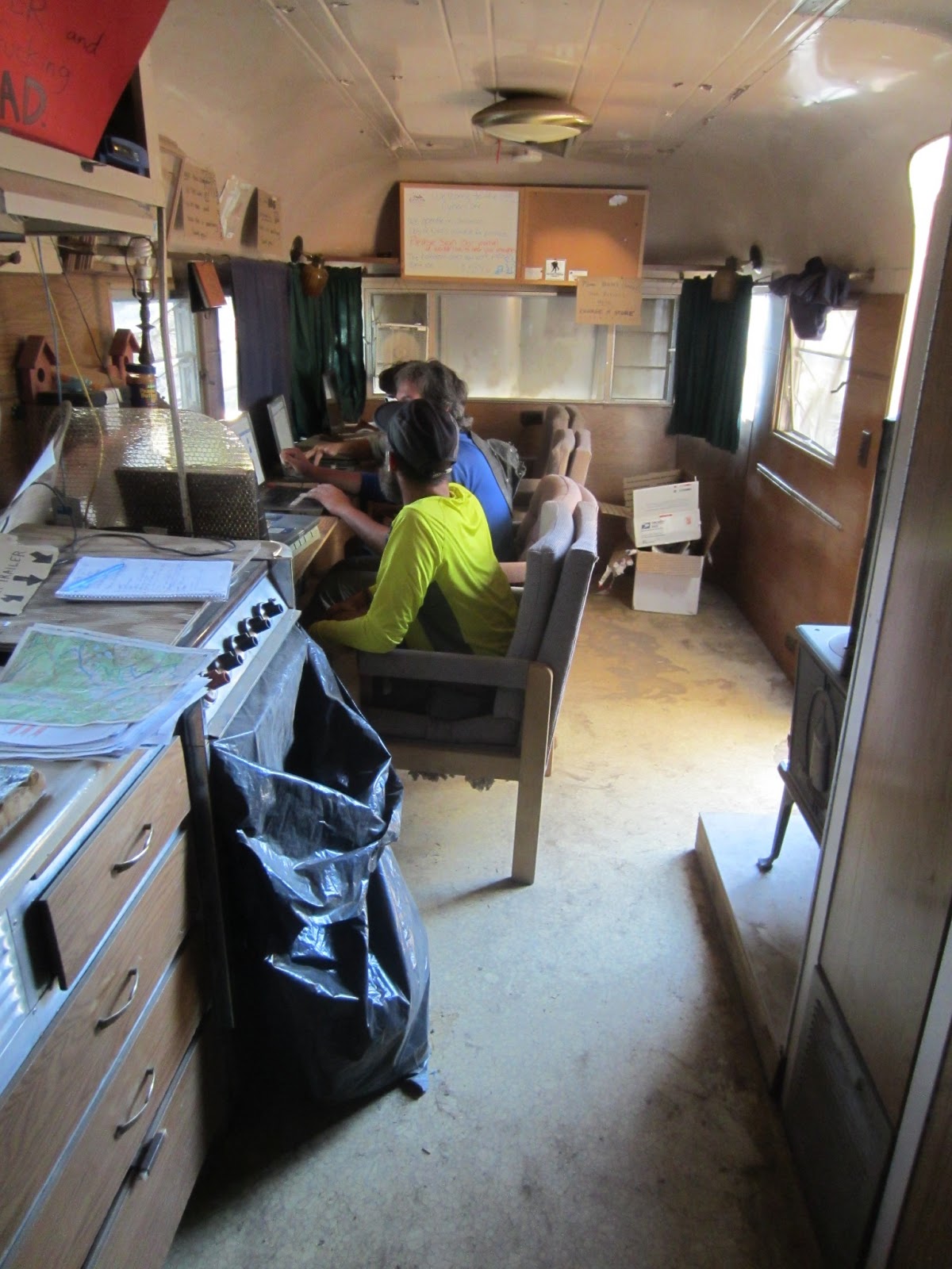
zero trail miles and give your body a break). We are staying at one of the premier Trail Angels homes called "Hiker Heaven". Amenities include: mail drop pick-ups, post office, showers, laundry (done by Donna), transportation hub, phone, high-speed internet computer stations and more! You can check out their set-up
here.
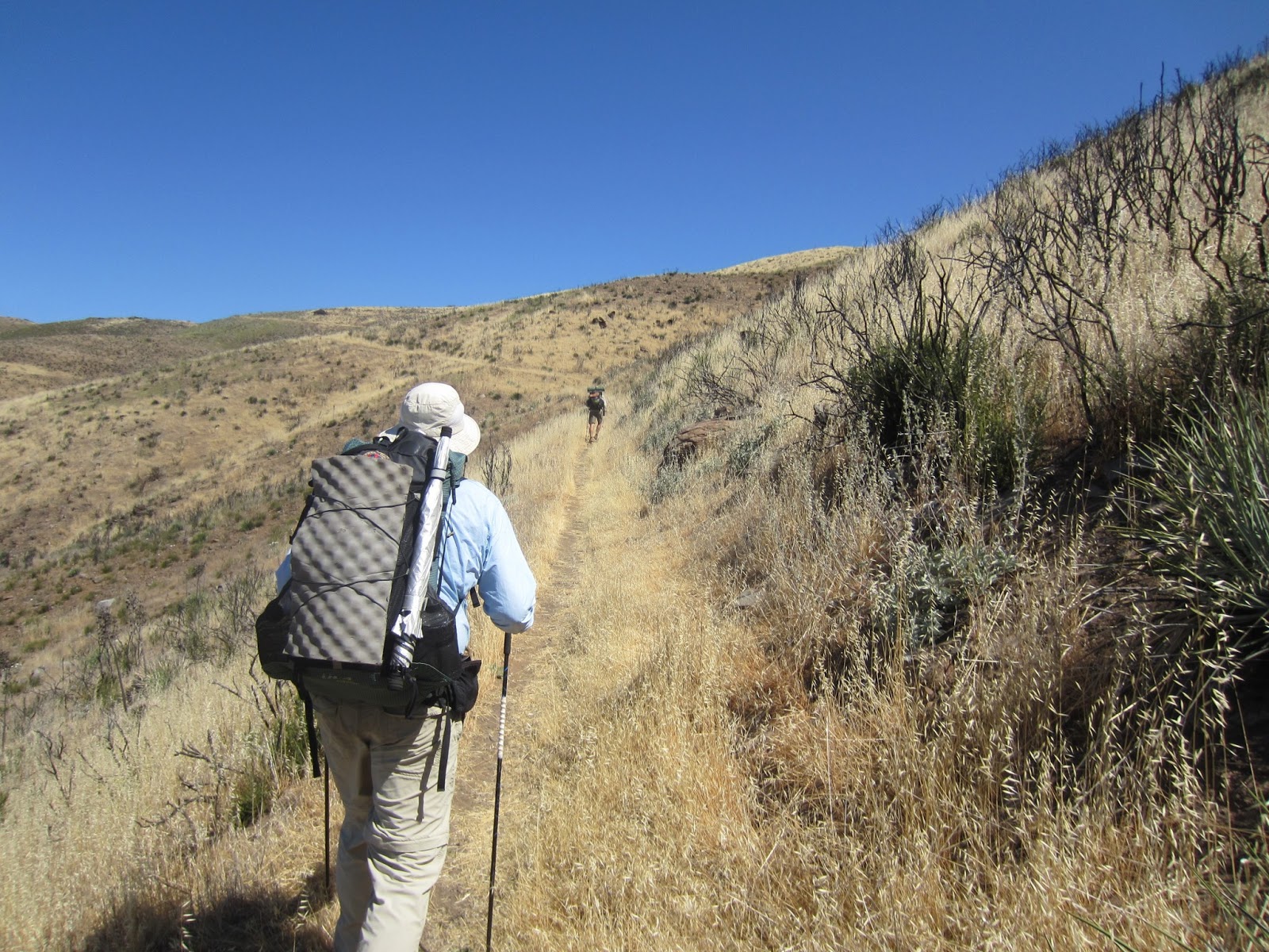
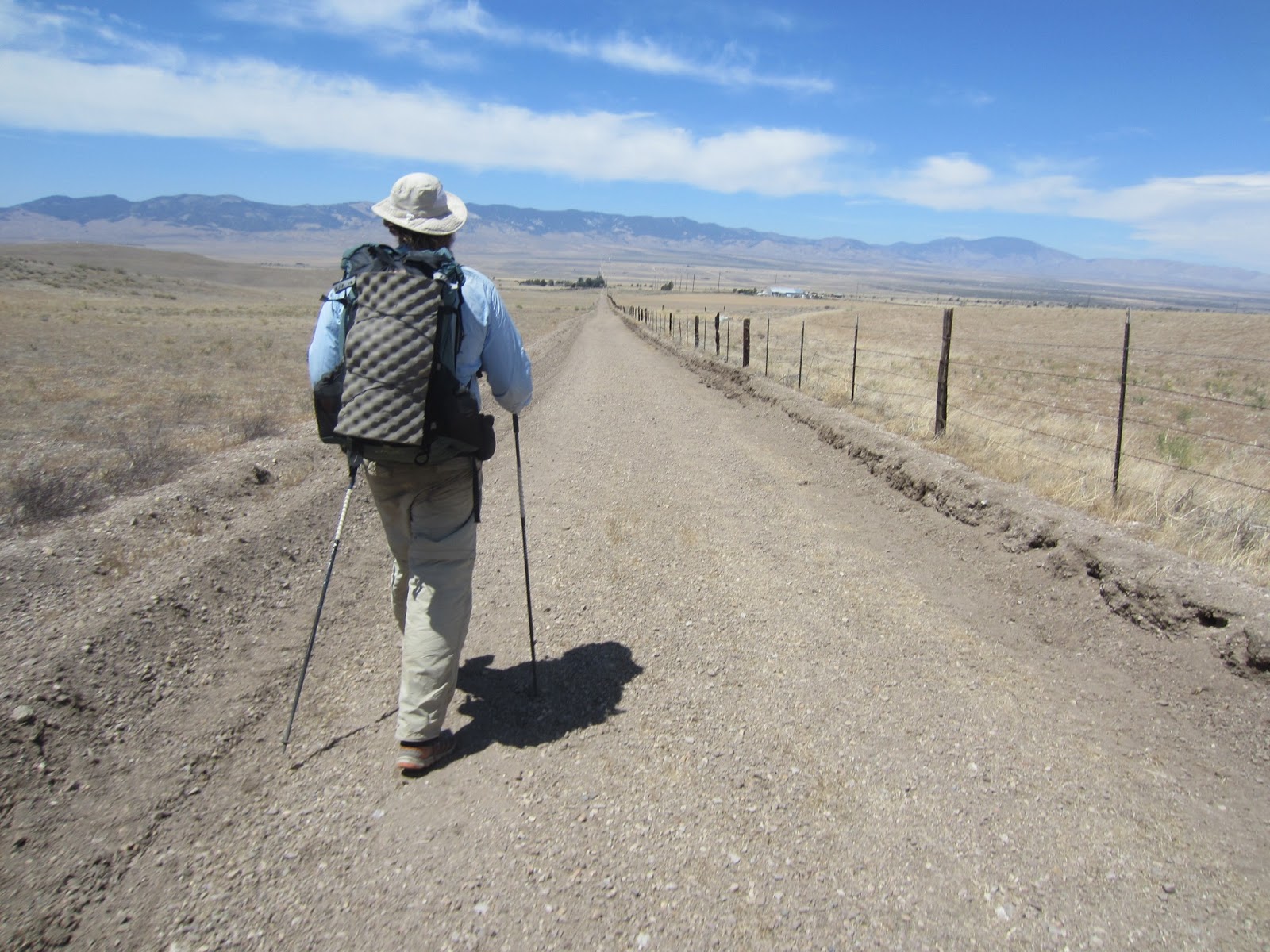
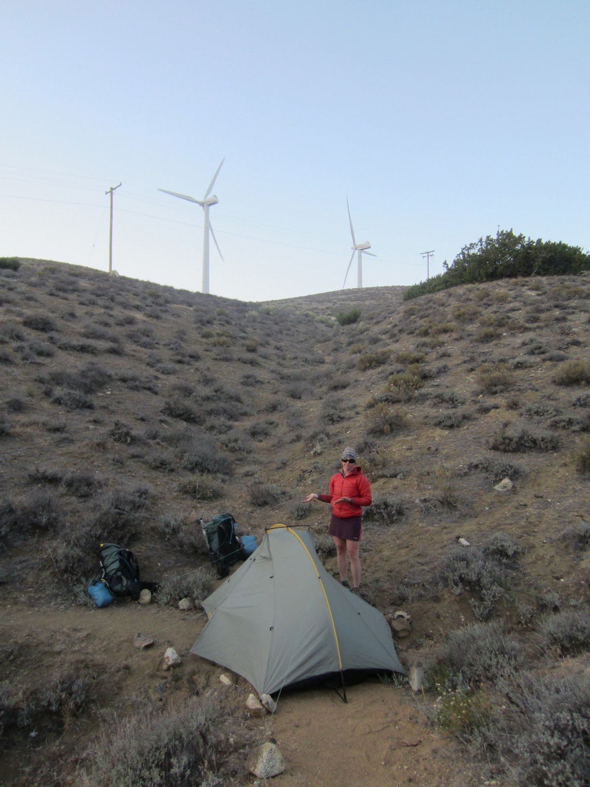
On Tuesday we hiked our first 30 mile day on the PCT and we still felt good the next day! Since my last post the trail has stayed relatively high in elevation allowing us to hike more hours during the day. Overall, that has allowed us to hike roughly 20 miles per day on average without feeling hurried or exhausted.
I might have jinxed us in my last post when I was boasting about being healthy, because not a day after departing from Big Bear, CA, Iceman had an allergic reaction! His arms and legs were covered with small red bumps. We were hoping the reaction was caused from the laundry soap used on our sheets, but as it turned out it was the laundry soap used on our clothes. It can become very stressful when trying to determine how to best manage an allergic reaction when faced with the choice of hiking 4 days to the next town or hiking backwards. We decided to push on to Cajon Pass, CA to stay at the Best Western. Fortunately, they had coin operated laundry and Iceman was able to get a prescription from his doctor to calm his immune system. The crux of getting him better was getting a ride to the pharmacy. As luck would have it when Iceman was looking at the limited local public transportation options a local trail volunteer walked in. There's a saying on the trail that "the trail owes you nothing, but the trail always provides" and that's exactly how everything played out.
Our family has had some questions about the water situation in Southern California, so I thought it might be helpful to include a little blurb on how we know where to get our agua. First off our maps will include some notes on historically reliable water sources, but even that cannot be trusted when you're hiking in the 5th driest year on record, since record keeping started in 1870. To make sure we have the most current information we carry the PCT Water Report. The Water Report can be found at
www.pctwater.com, which is maintained by "Halfmile" and is the same person who creates our maps (all for free). Hikers report what they are finding in the field and Halfmile compiles the information for everyone to reference. Below you'll see a screen capture from a trail miles 210.8 to 226.3.
Ultimately, we've been carrying a lot of extra water to make sure we never run out. That can mean carrying over 6 liters (1 1/2 gallons) each. It definitely sucks to carry an extra 12 pounds of water, but running out of water sucks more!
We must give a shout-out to our Mother's for their milestones reached on Mother's Day weekend none-the-less: my mother, Sharon, was awarded her Bachelors from the University of North Carolina - Chapel Hill and Iceman's mother, Terri, celebrated a very special Birthday! We are so excited for you both and we wish we could of celebrated with everyone! Congratulations!!!
 |
| Big Bear Lake, CA |
 |
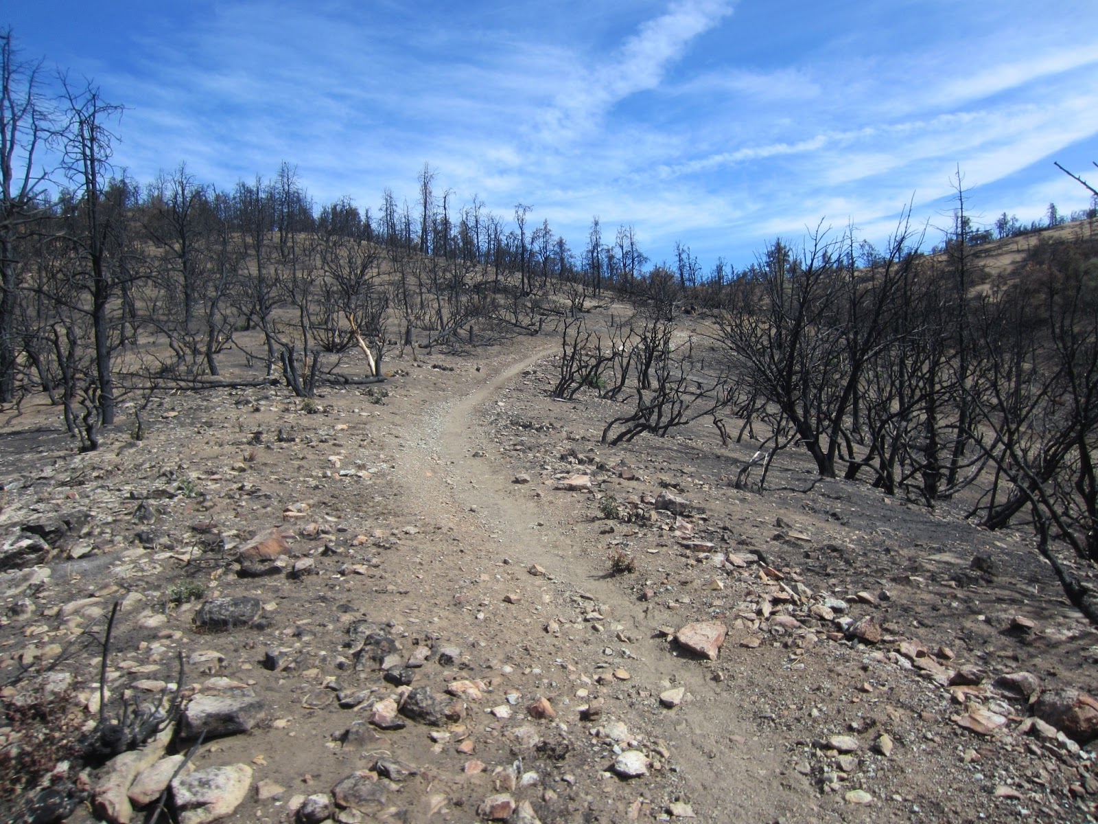
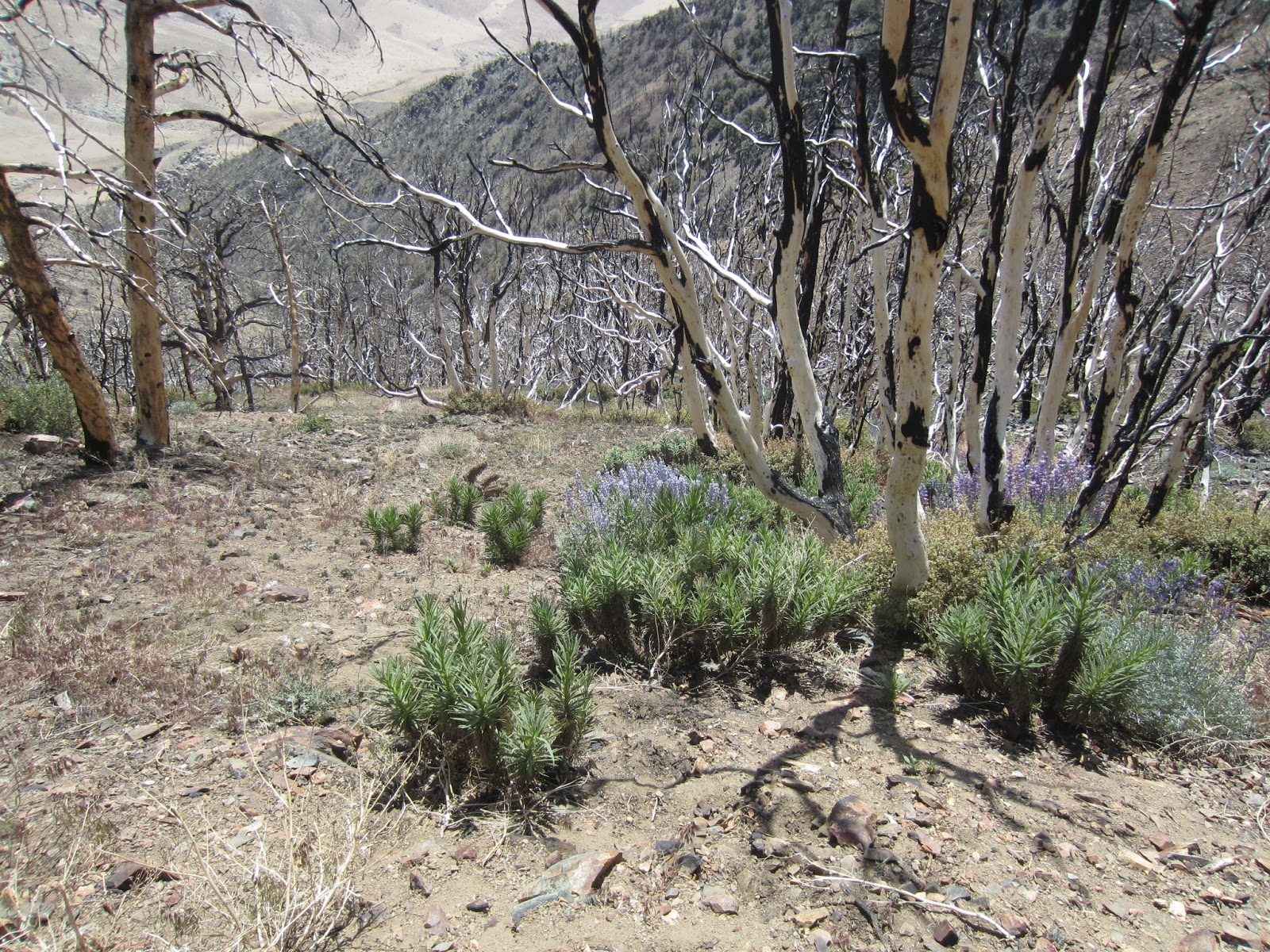
| Fire damage from 2007. It's astounding how long it takes for the desert forest to recover. |
 |
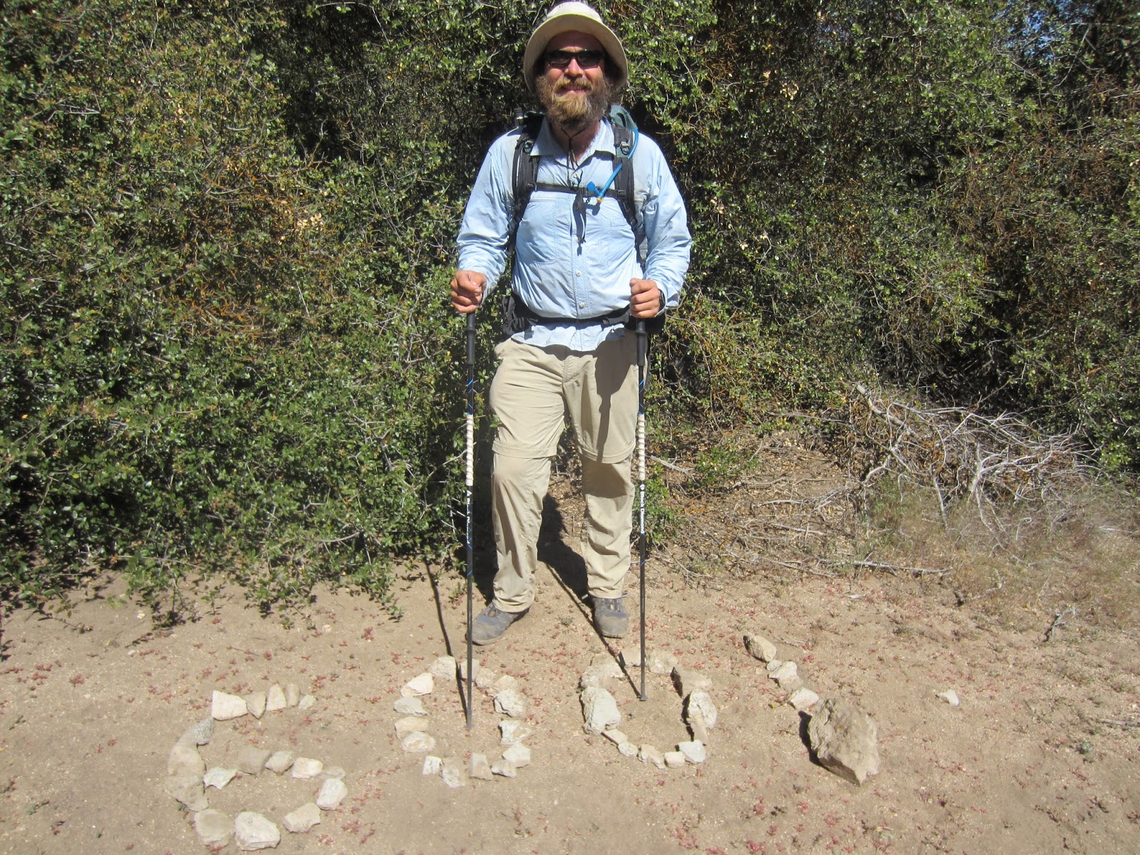
| 300! |
 |
| Camped right next to Deep Creek. |
 |
| Deep Creek Hot Springs located right on the creek! AMAZING! |
 |
| Palm like plants were growing out of the rocks! |
 |
| It was so deep neither of us could touch the bottom! |
 |
| It was hard to leave the Hot Springs, but this is the view looking back. |
 |
| Deep Creek, CA |
 |
| Shepard and crew served up root beer floats and hot dogs! So delicious! |
 |
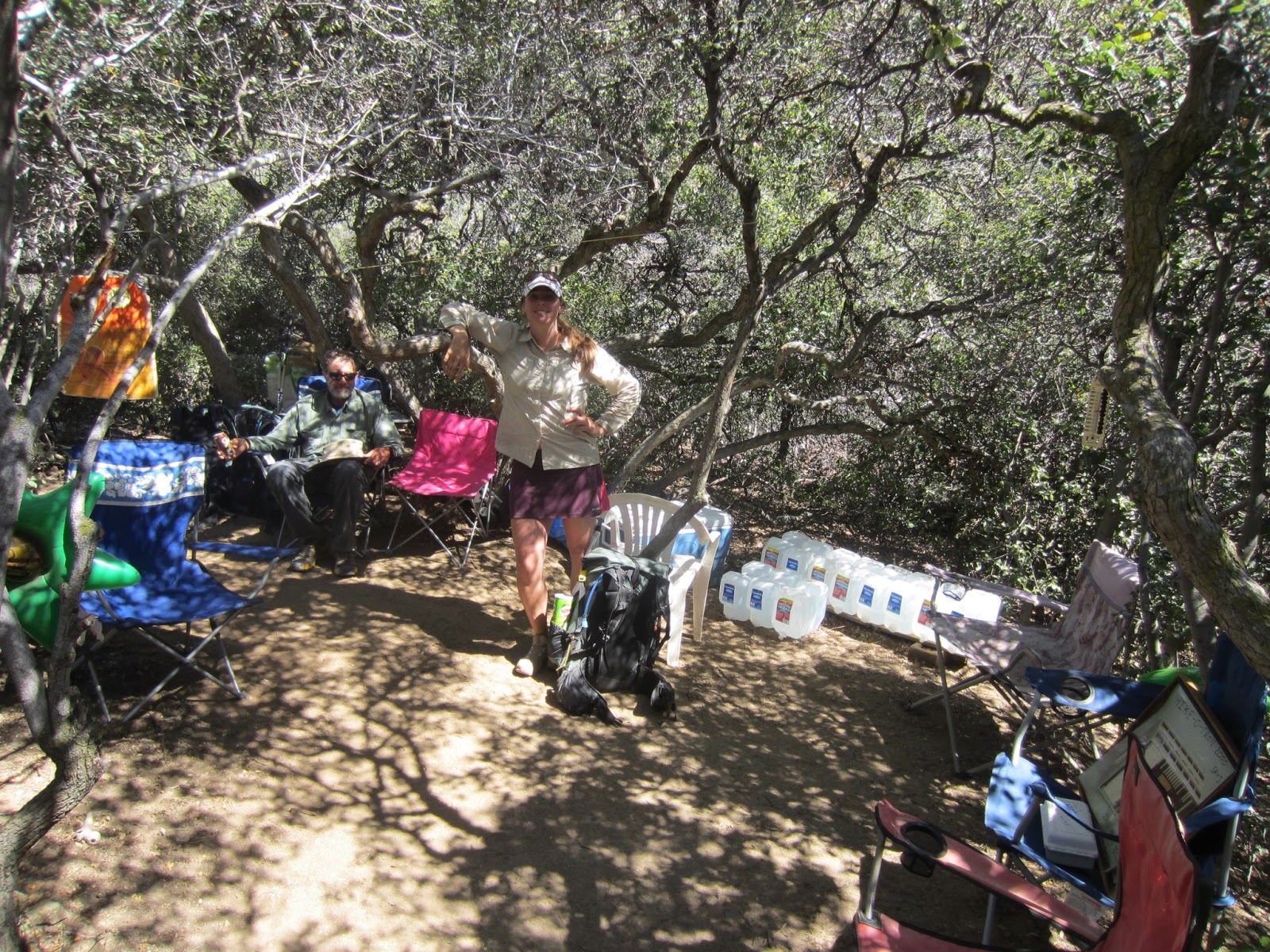
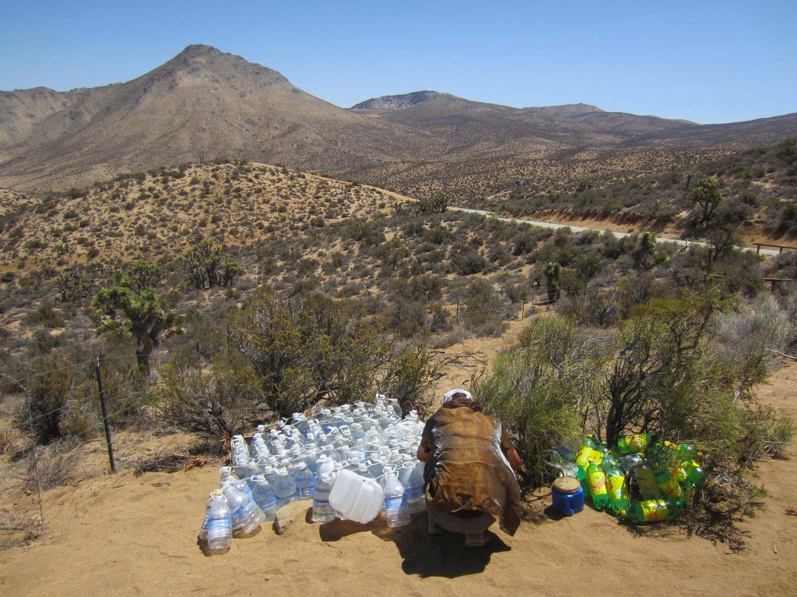
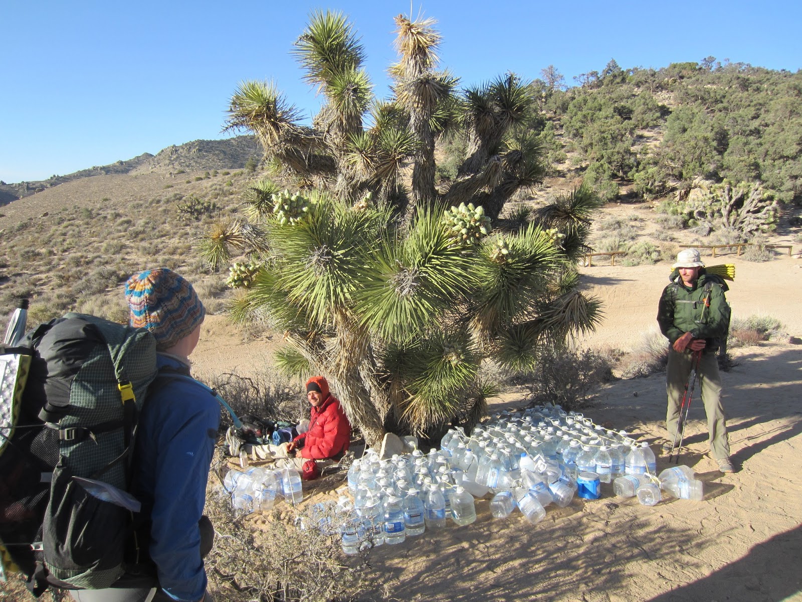
| Water cache that was much needed! Thank you Trail Angels!!! |
 |
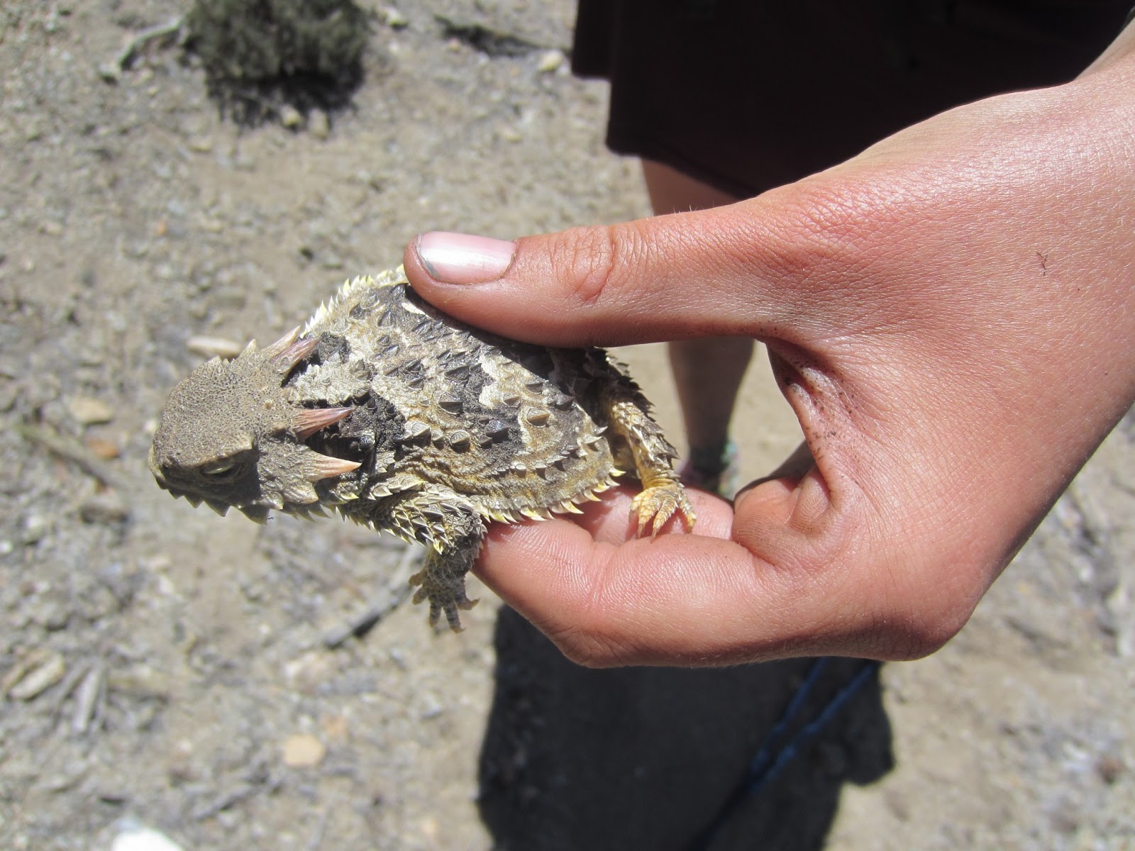
| Tiny horny toad! |
 |
| Looking back towards Big Bear, CA. |
 |
| Ugh! The rash appearance! |
 |
| We managed to not be drawn in, but our fellow thru-hikers were not so strong. |
 |
| Such a good nights rest and thankfully a place for Iceman to heal. |
 |
| Heading out of Cajon Pass (Hwy 15). It was a long climb! |
 |
| First detour (unofficial) of the trail to avoid Poodle-dog Bush. |
 |
| Large lizard eating ants along the trail. |
 |
| Hiker trash! From the left Chief, Boo-Boo, Hedgehog, Purple Haze and me (Cattywampus). |
 |
| We walked through the Mountain High Ski area. |
 |
| Hitch to Wrightwood to resupply. We had 4 thru-hikers, 5 backpacks, and 2 dogs in there! |
 |
| 150 ft below the summit of Baden-Powell (9,399 ft). This tree was estimated to be 1,500 yrs old! |
 |
| It took us 9 tries to get a photo with both of us in the air! |
 |
| No need to treat this water! One of the best springs on the trail so far. |
 |
| First official trail closure for the Mountain Yellow-Legged Frog. It resulted in roughly 3 miles of road walking. |
 |
| 400! |
 |
| Poodle-Dog Bush. YUCK! Causes a similar reaction to poison ivy, but without any good treatment options. |
 |
| We had to do the "Poodle-Dog Ballet" to navigate large plants hanging out in the trail. |
 |
| Second official trail closure for the 2009 Station Fire, which burned over 100,000 acres. |
 |
| Road walking and still watching out for Poodle-Dog Bush. The plant is a fire follower and was the thickest through the Station Fire area. |
 |
| Iceman warning off the Poodle-dog Bush. It takes close to 10 years for it to die back. We elected to take an additional detour to avoid it! |
 |
| 2 Firefighters perished in the fire while trying to flee in a vehicle. |
 |
| Along the ridge was an old Prison Fire Camp. It was very eerie walking through the area. Everything had been demolished. |
 |
| 50 people (firefighters and inmates) survived by hunkering down in one of the structures. |
 |
| More hiker trash to greet us after our 30 mile day! From the left Justin, Tumbleweed, Drama, and me (Cattywampus). |
 |
| Possible alive Black Widow that came from Iceman's shoe in the morning. Make sure to check your shoes! |
 |
| Looking down to the hot valley floor waiting for us as we make our way towards Agua Dulce. |
 |
| It can't get any worse. Poison Oak and Poodle-Dog Bush wrapped together! |
 |
| The trail is marked with signs like this one here. |
 |
| Iceman is just a little sweaty... |
 |
| Drying out our clothes after a wash. |
 |
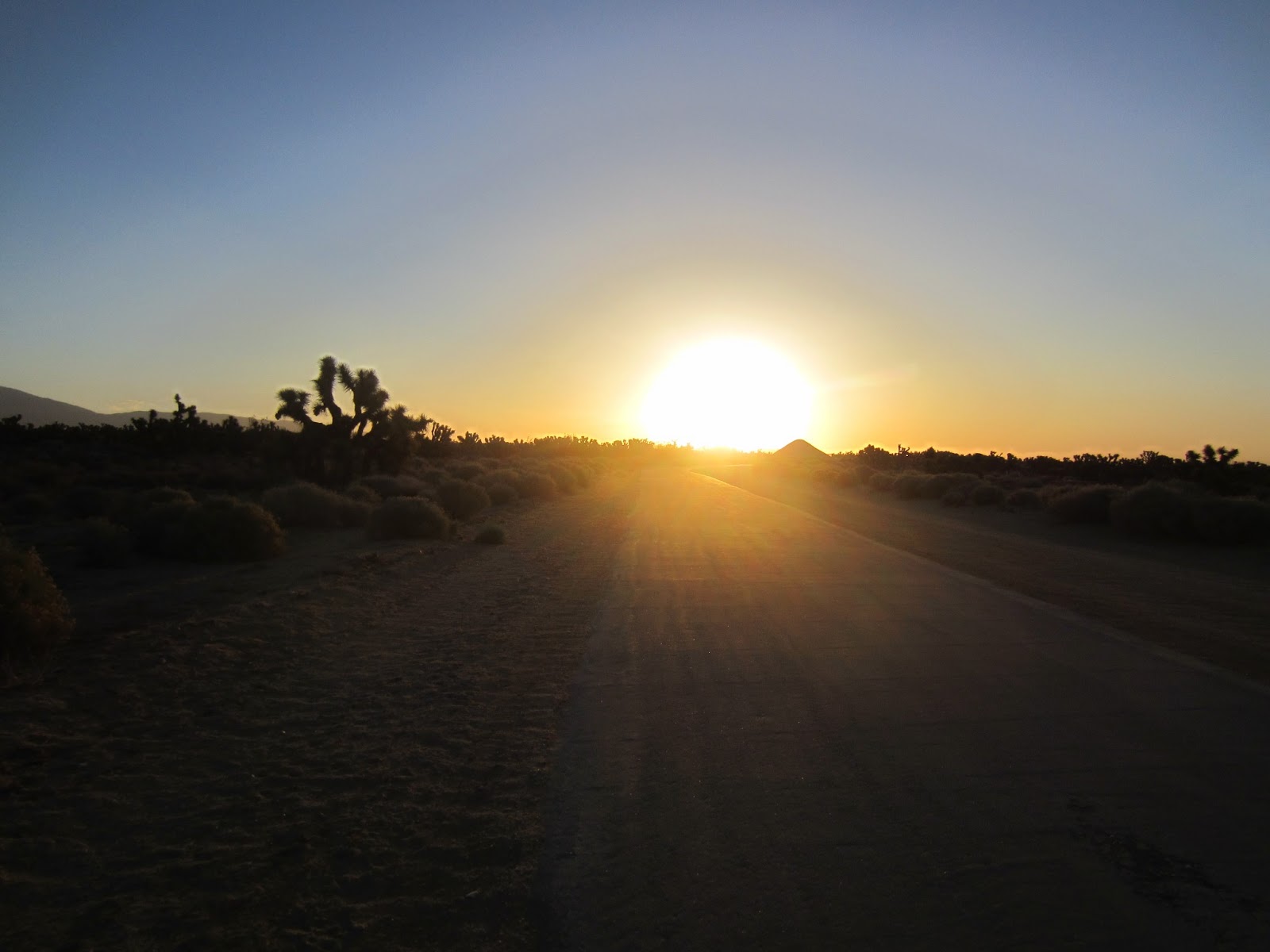
| We woke up at 4:30 AM to beat the heat! |
 |
| Beautiful sunrise. |
 |
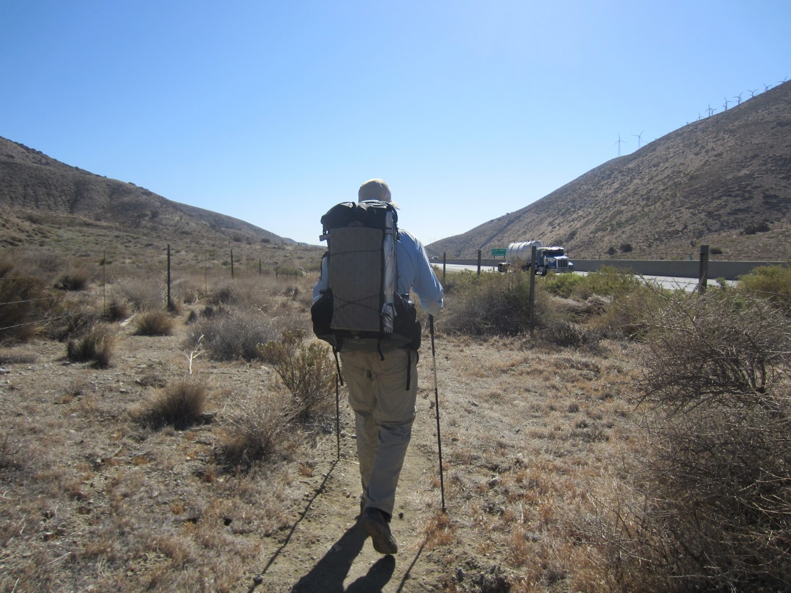
| Tunnel walking under a highway. The standard way to safely make it across large highways. |
 |
| Casey and Collin resupplying for the next 800 miles! Lots of food and lots of work! |
 |
| Taking a break at Hiker Heaven! What a place! |